 |
 |
Home > Offers to Sell > Business Services & Service Equipment > Other Business Services
| Contact: | Frank Zhao |
|---|---|
| Company: | Feiyan Aerial Remote Sensing Tech Co., Ltd. |
| 450 S Taiping Rd Siya Fortune Ctr, 8th Floor | |
| Nanjing 210008 | |
| China | |
| E-Mail: | |
| Date/Time: | 10/25/22 2:55 GMT |
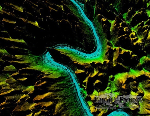
DEM Digital Elevation Model
DEM digital elevation model is a 3D representation of the terrain elevations
found on surface of the earth. DEMs are generated from variably-spaced Lidar
ground points, or they can be created using a raster grid.
Feiyan Technology focus on creation of high quality DEM Digital Elevation
Model to support specialized applications such as 3D modeling, volumetric
calculations, and powerline as-built surveys.
Specifications of DEM Digital Elevation Model
Resolution: ≥3 points/m²
Project area: 39,090 km²
Duration: 1 month
Output: DEM, DSM,classified point clouds
Application: forestry planning
Accuracy: ≥98%
Grid spacing: 2m
From: Guangxi Forestry Bureau
SOURCE: Import-Export Bulletin Board (https://www.imexbb.com/)
Similar Products:Not exactly what you are looking for? Post an Offer to Buy!
![]()
© 1996-2010 IMEXBB.com. All rights reserved.
|
|
|


